Remote Sensing
-

UAS Mapping
Unmanned aerial systems (UAS) or “drones” are able to generate orthomosaic maps and elevation models based on photogrammetry.
-

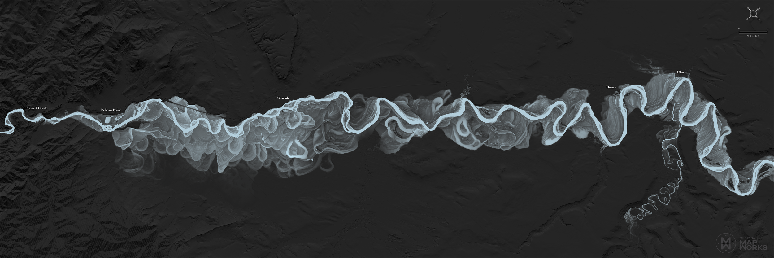
Point Clouds/DEMs
Point clouds are derived from UAS photogrammetry. Elevation models are created for analysis in river restoration and other applications.
-

Monitoring
Discrete events or disasters are rarely seen coming and can be difficult to monitor effectively and capture accurate data. Drones offer a unique ability to safely monitor and record data.