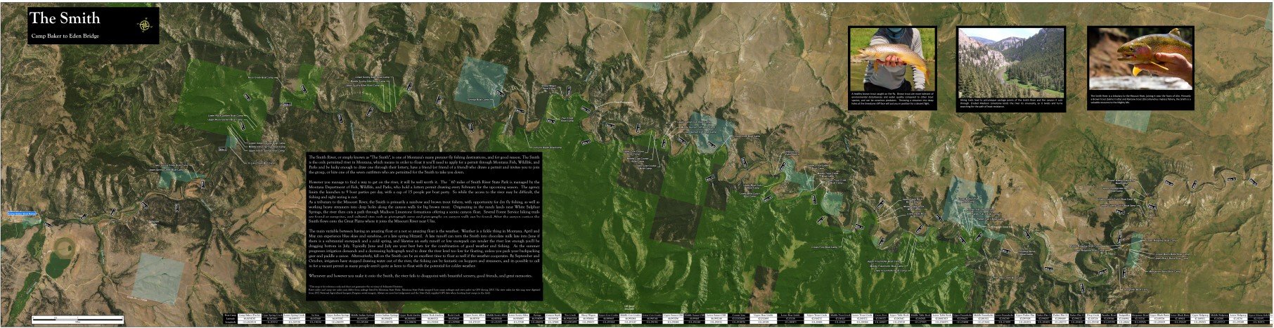
Montana Map Works is currently working on a cartographic river mapping and relative elevation modeling project for popular rivers around Montana. The cartographic river maps display river miles, insect hatch charts for flying fishing, boat ramps and fishing access site locations as well as distances, and other points of interest.
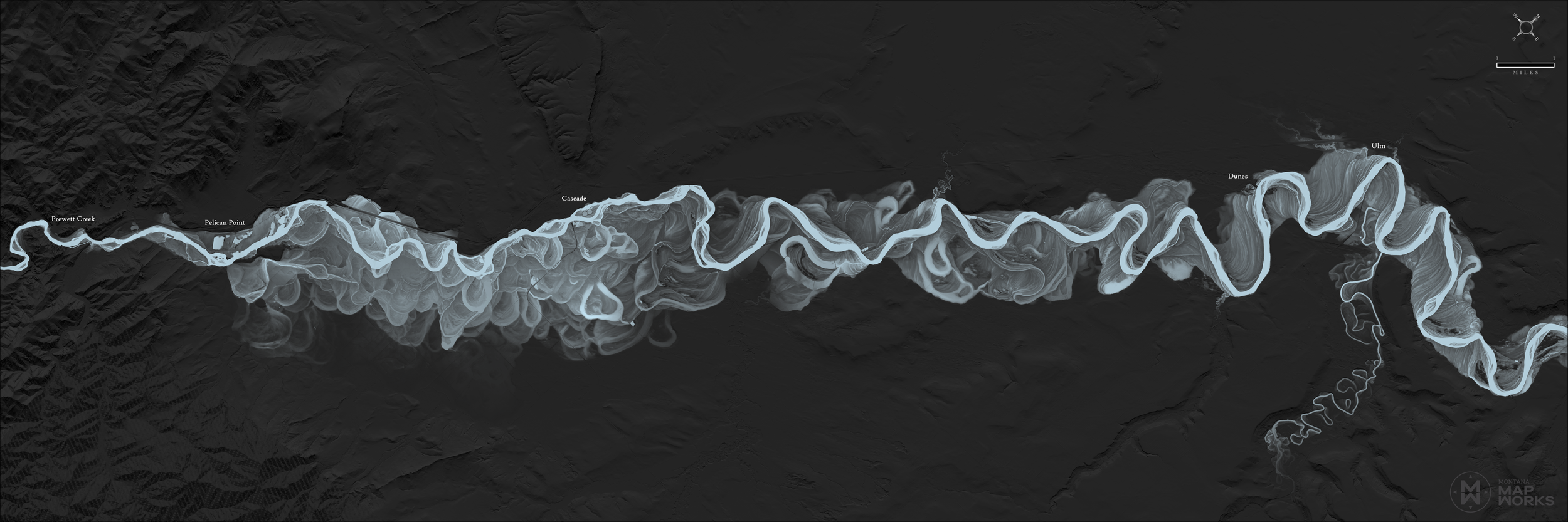
Relative elevation model maps display a custom elevation model showcasing the meanderings of rivers over time. These maps highlight the beauty of natural systems and change.
Stay tuned for further updates…