Yellowstone River Flooding 2022, Project 1
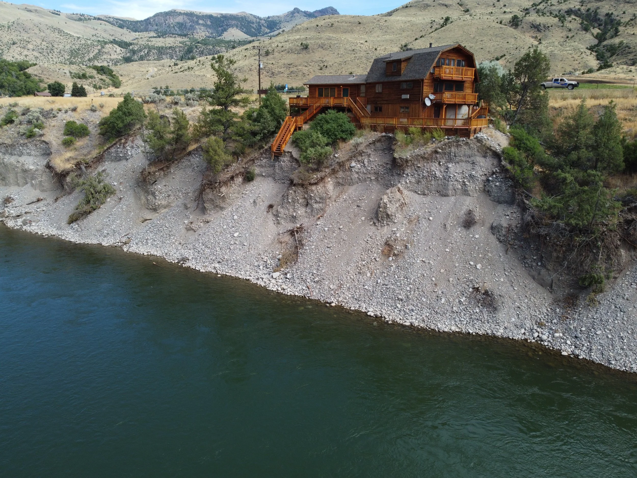
In the spring of 2022 the Yellowstone River experienced historic flooding, washing away bridges, houses, and reshaping the dynamic river to an extent not yet seen. After the flood, river banks had been washed away, re-deposited, and put some structures at potential for risk. Montana Map Works was hired by river restoration engineers for baseline mapping using UAS. Deliverables included orthomosaics, surface models and point clouds. Ground control points were set across the study site and surveyed using RTK GPS equipment to accurately correct the models to the real world. Oblique aerial imagery and video helped engineers and clients visualize areas not viewable by other means and helped tell the story of the historic event.

Before 2022 flooding

After 2022 flooding. Taken August 2022